Greening the Grey Areas
Greening the Grey Areas
A proposal for an integrated approach to development in sensitive landscape settings.
While we deliberate the implications of building on the so-called "greyer” parts of the UK’s Green Belt and its potential to resolve some of the UK’s housing issues, Gavin Miller, Director at MICA thought he’d reflect on his own experiences.
In 2007, MICA won a competition to design 10,000 homes on the Green Belt in East Herts, north of Harlow. Last year, after a long and arduous process, we finally received consent in 2023 for our design. The concept we developed during that competition, in collaboration with Grimshaw, though it took time to fully articulate, now appears remarkably foresighted.
Our task was immediately complicated by the removal of the original UK Labour government mandate for development, replaced by the 2010 coalition government’s policies, which made our project even more challenging. The site, located on and around a former country estate, presented significant obstacles due to its complex local conditions.
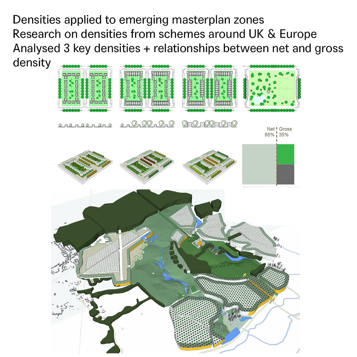
To address these challenges, we adopted a special approach centred around landscape, well-being, and health, ahead of its time for 2008. As architects, we felt a profound responsibility to ensure that development on this precious land would bring benefits and preserve undeveloped land for the future. We proposed that only 45% of the land be developed with 9% of it built form, with a focus on encouraging access and enhancing existing rights of way. The preserved land would then be protected in perpetuity from further development, as a Trust managed by the community.
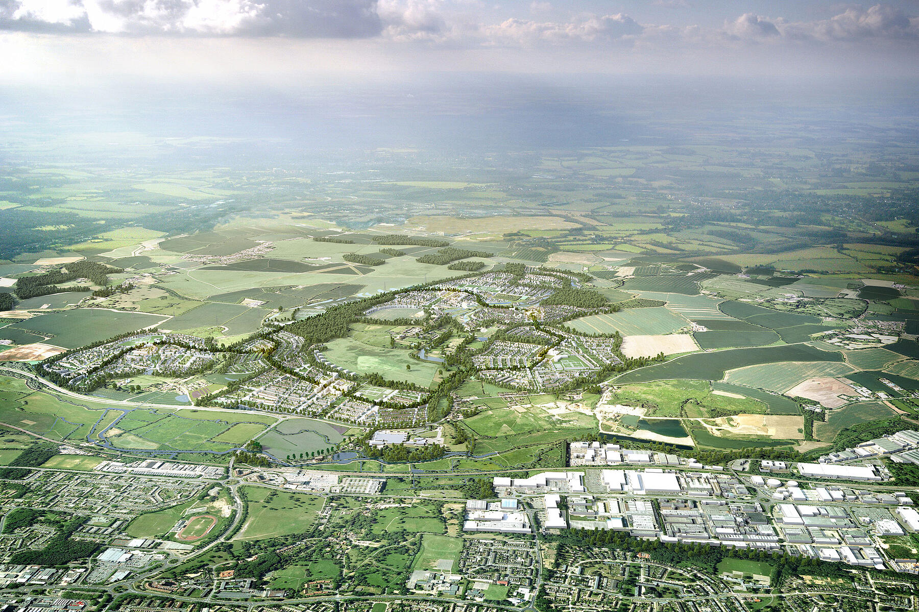
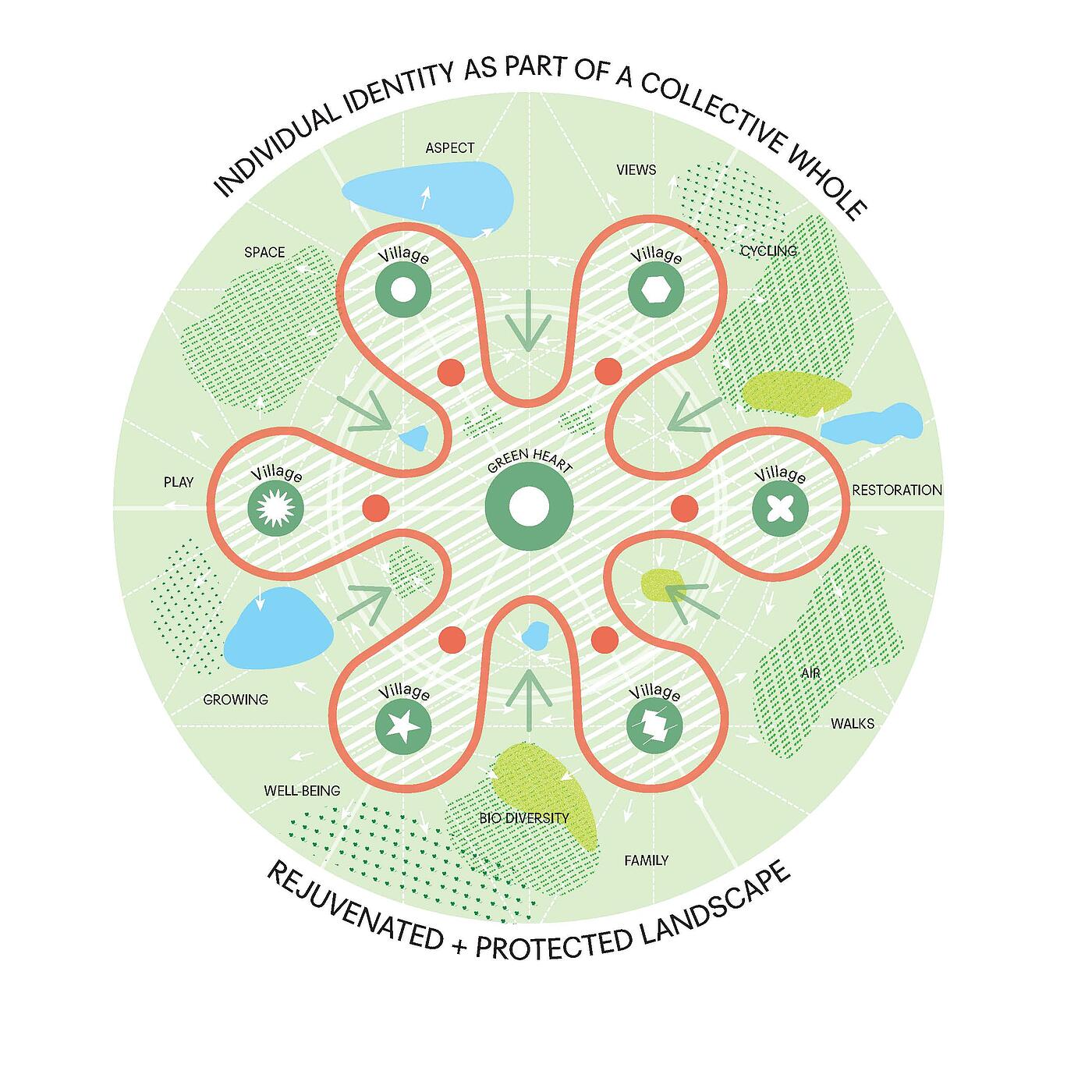
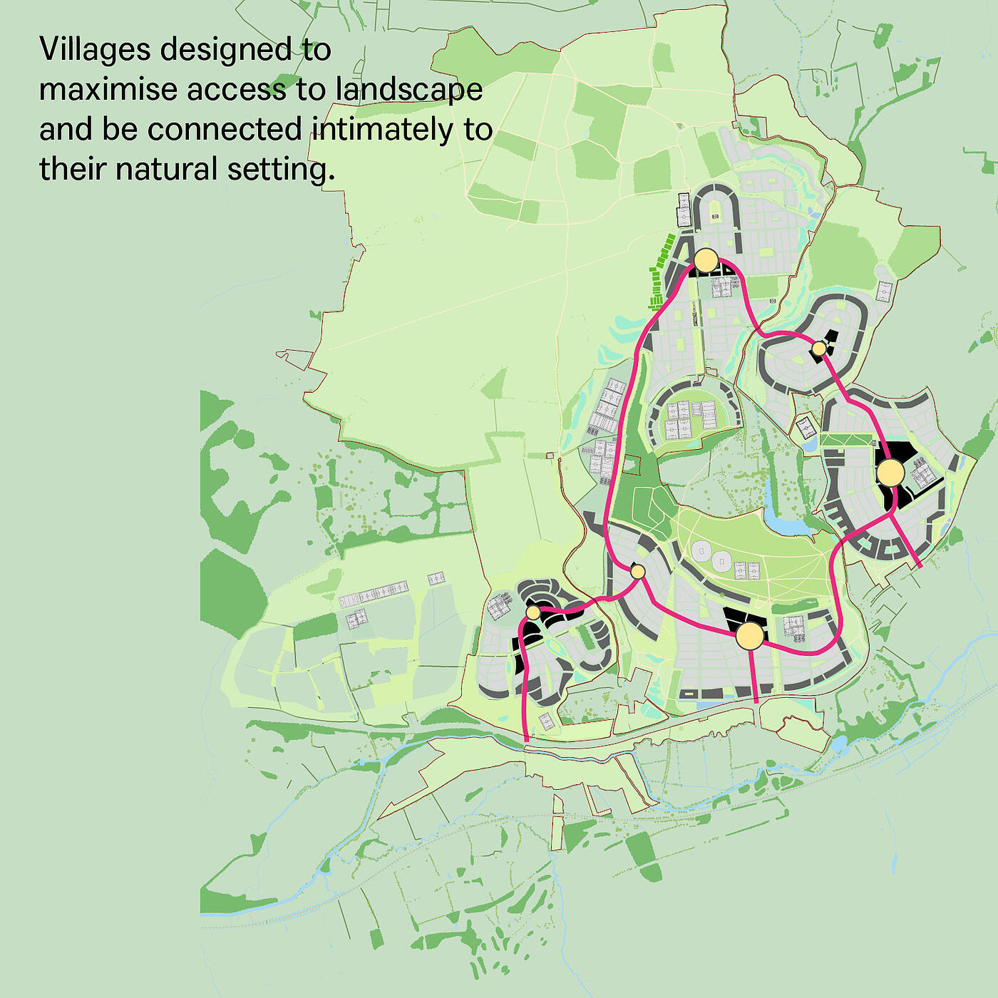
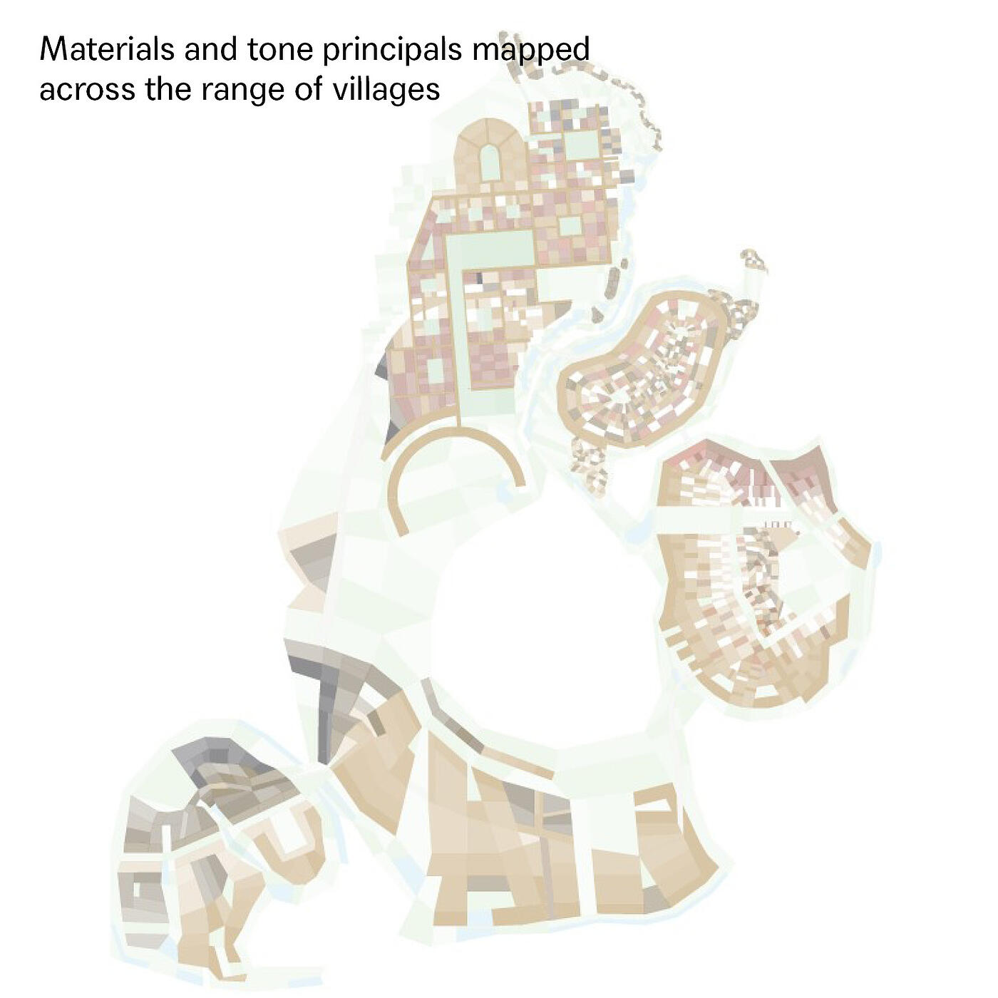
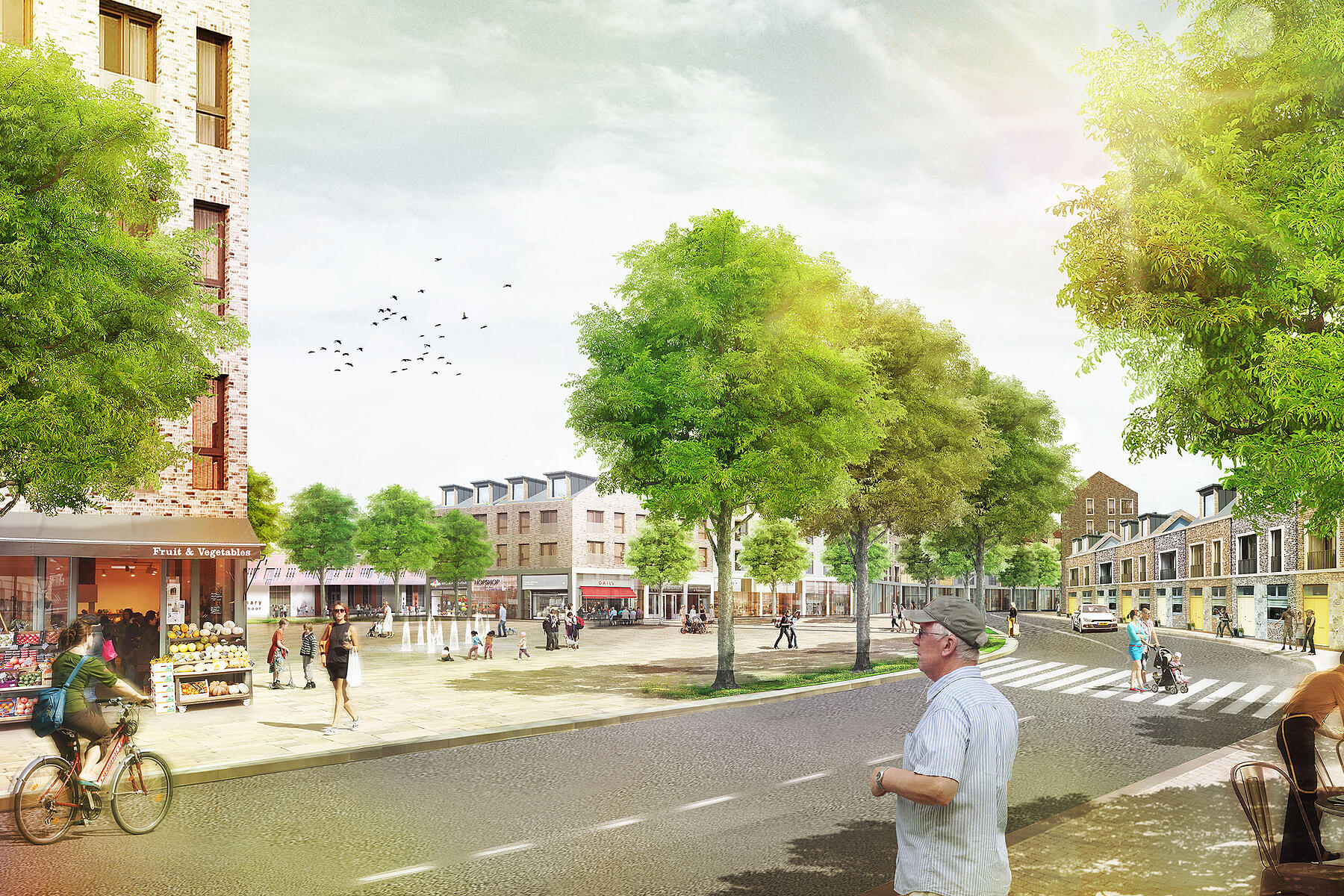
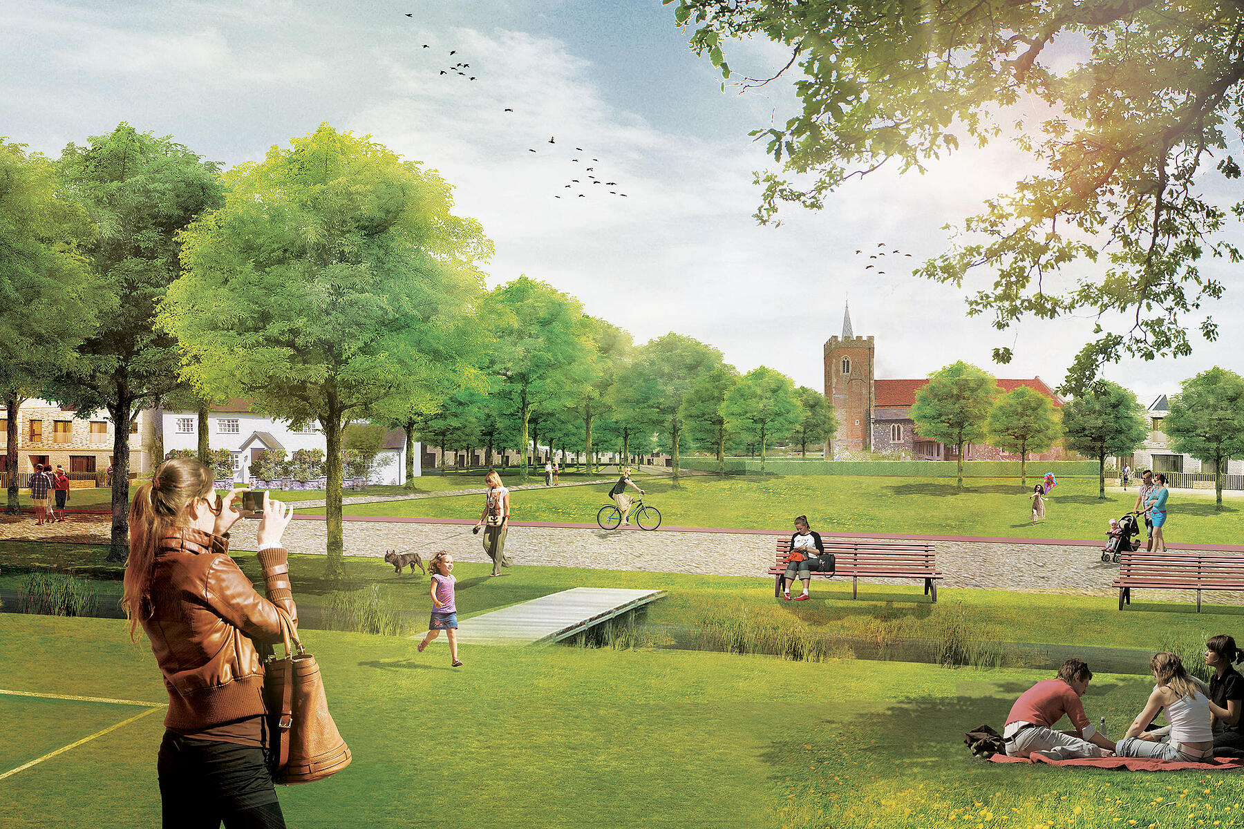
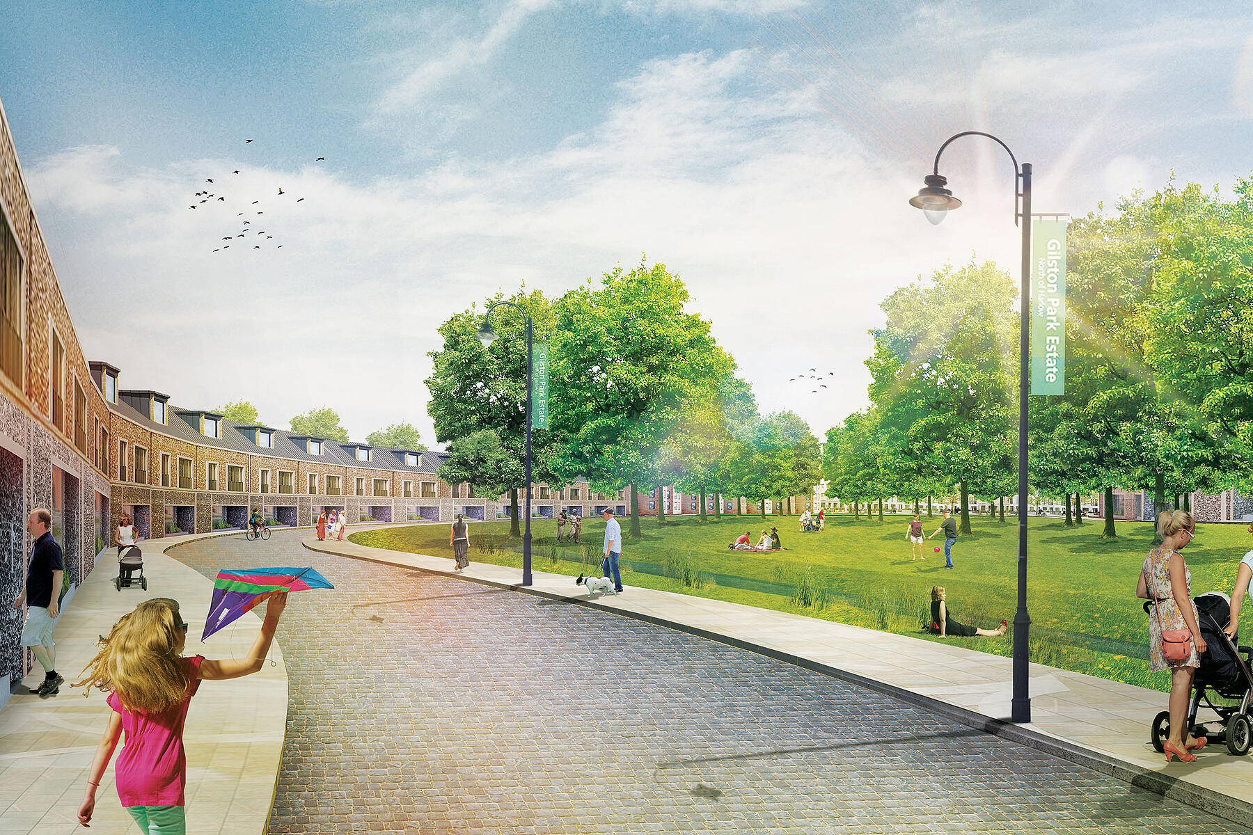
Taking its name from the historic estate, Gilston Park, is inspired by historical English precedents, like the common land of Beverley and the informal landscape spaces of Hampstead Heath, to create a unified collective identity bound by the landscape, which then hosts the unique individual character of six villages. Each village is connected to the landscape, blending its own distinct identity with a broader collective sense. Our plan emphasises frontages and views onto these key spaces, ensuring consistency across the large-scale shared landscape spaces and variety within each village.
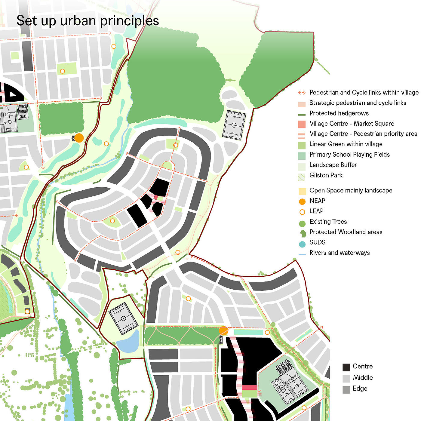
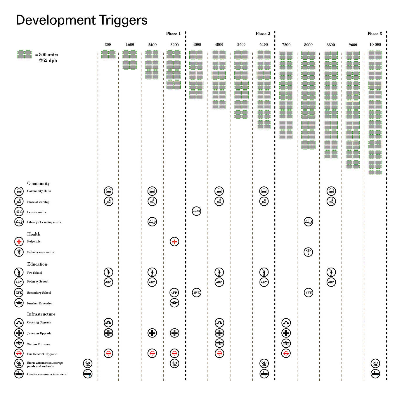
Access to open space is a core principle. For the 10,000 dwellings, no home is more than 400 metres from extensive open parkland, and this figure drops to 150 metres when including pocket parks. We prioritised designing homes that faced the landscape, avoiding the often unfortunate Green Belt model of back garden fences onto underused rights of way. Originally designed as six individual villages, the overall concept unifies them under a single vision.
Illustrating these relationships abstractly as a model produces an unusual diagram, but one that clearly illustrates the balance of built and open space, and the accessibility to it.
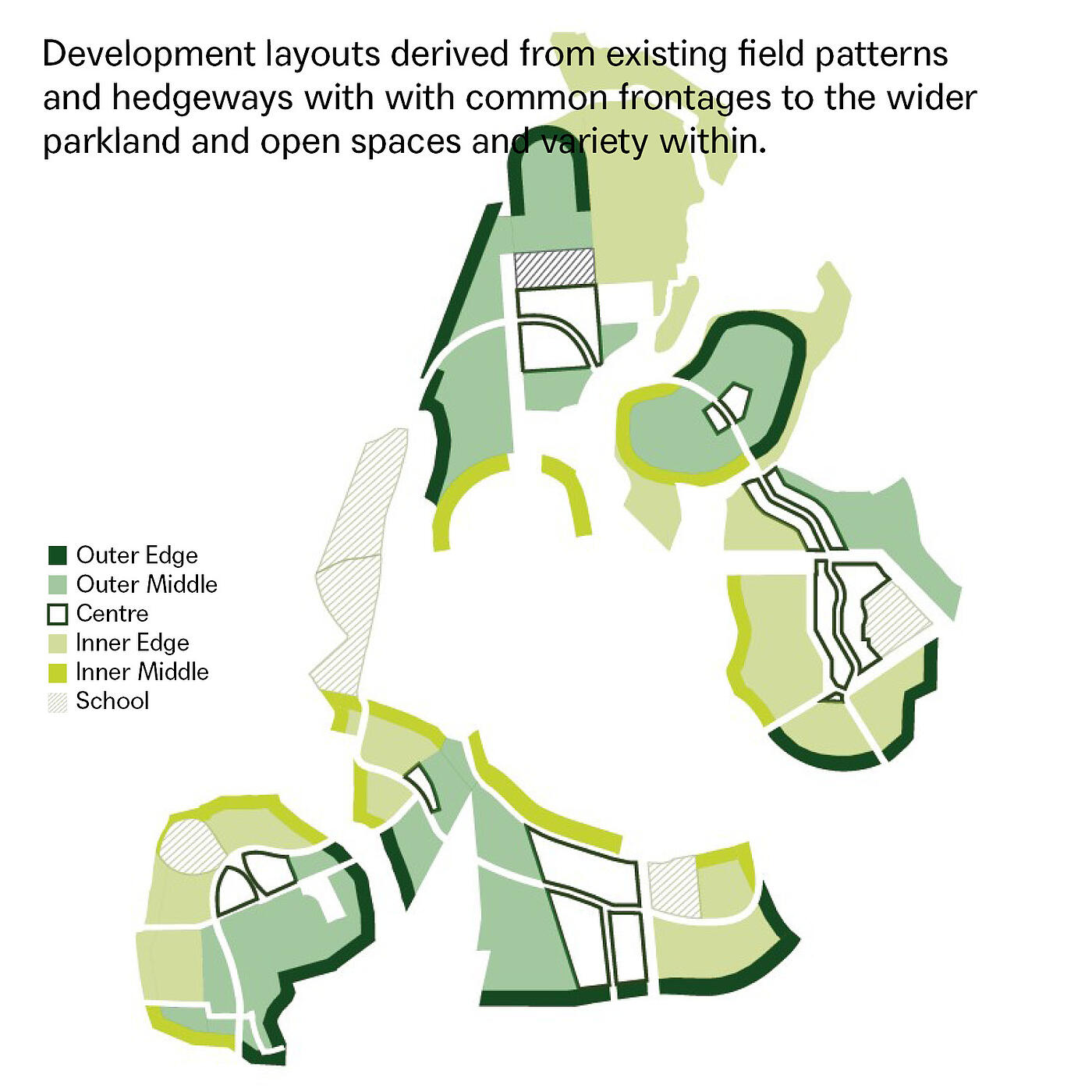
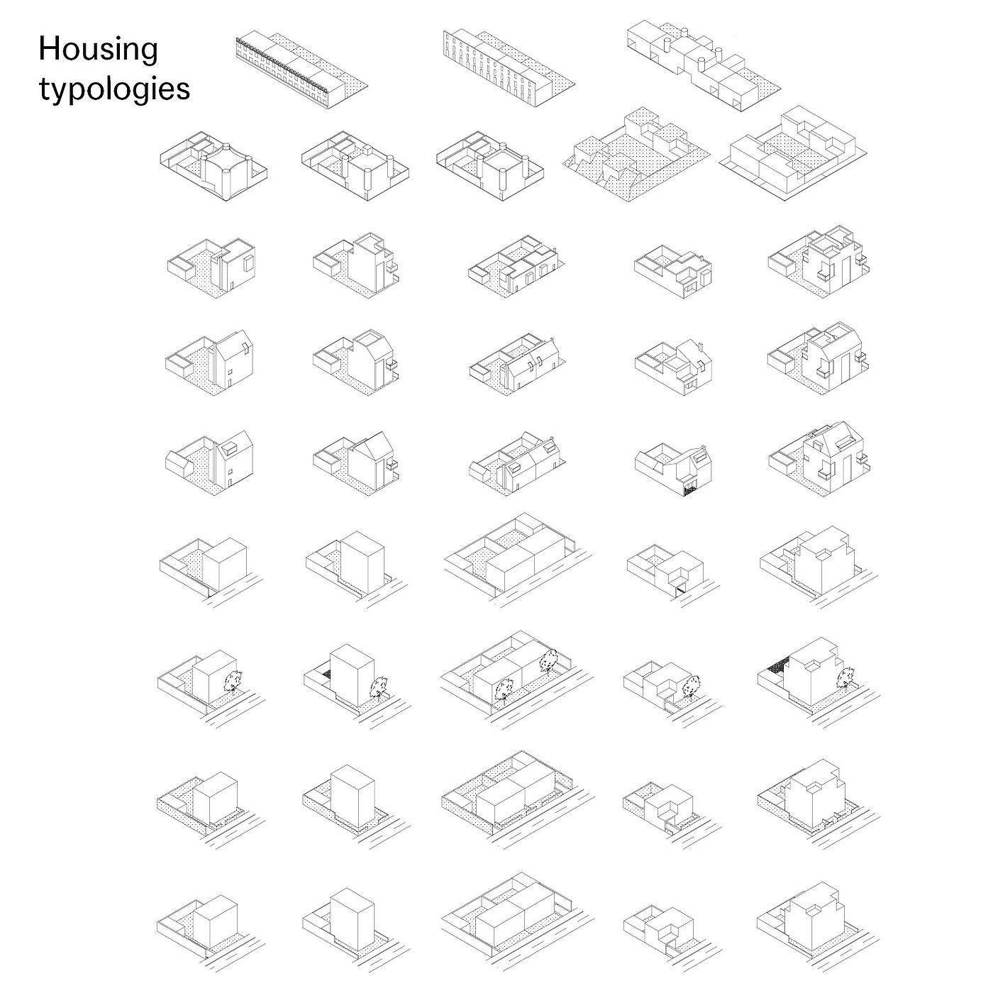
We tested various typologies and sought to balance the then pervasive car culture with sustainable practices. Near a train station, we pushed for higher densities with mixed use and intensified centres and frontages to villages and key spaces. This is achieved by exceeding typical suburban density but maintaining low heights with wide and shallower plots with direct street frontages, able to accommodate the long-term repurposing of garages.
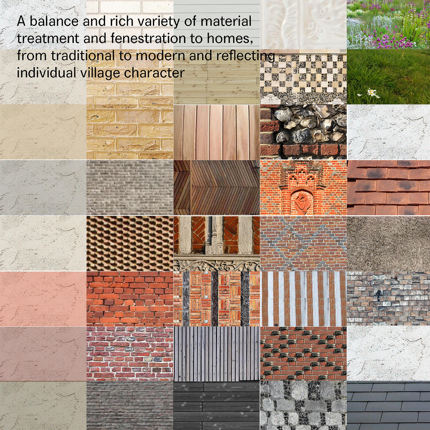
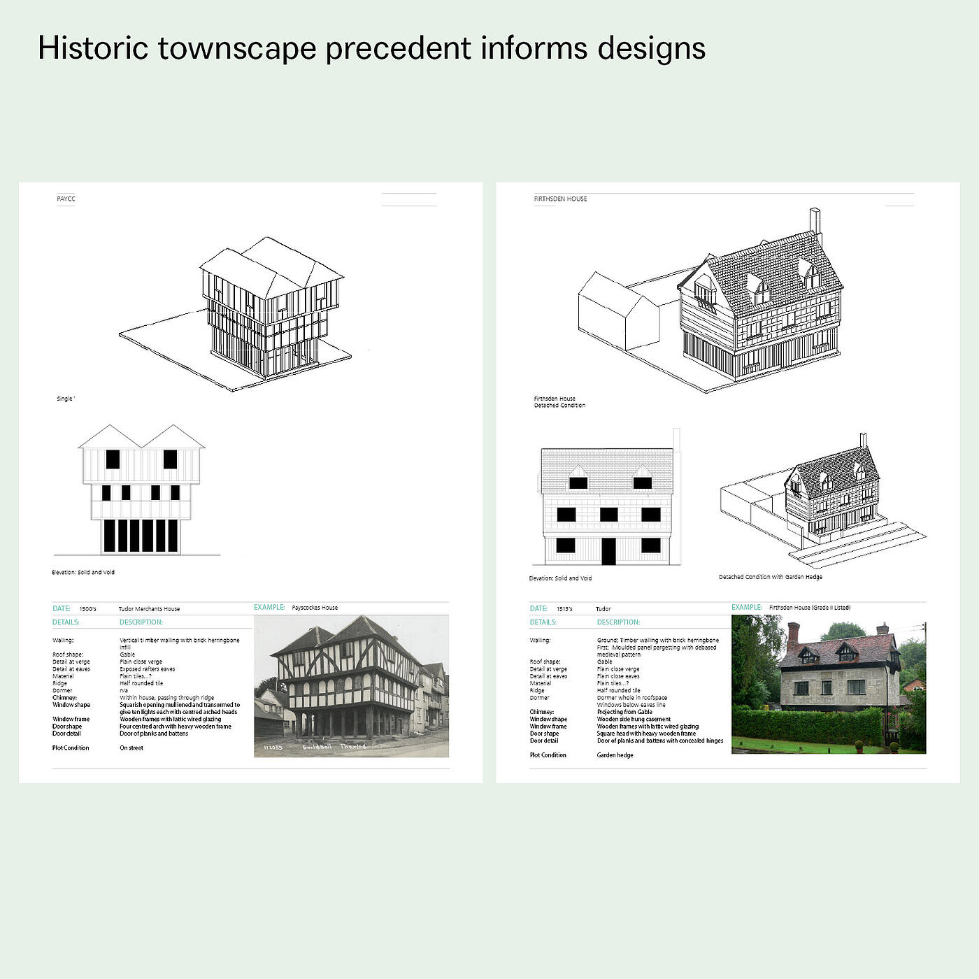
Spatially, we drew inspiration from precedents set by Thomas Sharp, Raymond Unwin and Camillo Sitte, creating a rich variety of frontages with rhythms, profiles, typically arranged around “turbine” spaces to avoid standardisation. This is informed from from how historical spaces work , analysing what makes a village, and engaging age-old enduring principles to create an environment which is rich, varied and interesting, avoiding suburban cliches and relentless repetition.
The result is a contemporary continuous landscape that balances formality and informality and forms a responsible approach. While we’ve learned valuable lessons from this project, we need 176 more of these, either in or out of the “Grey Belt” to address the UK’s housing shortage effectively.
Project Team
Client: Places for People
Masterplanners, Architects and Stakeholder Engagement : Grimshaw + MICA
Landscape: Grant Associates
Planners: Quod
Aecom
Askew Land + Soil
Vectos
Capita
EPR
L-P Archaeology